
Easily take your farm records digital
and have up-to-date information at your fingertips

The app farmers have been waiting for (in the words of our users).

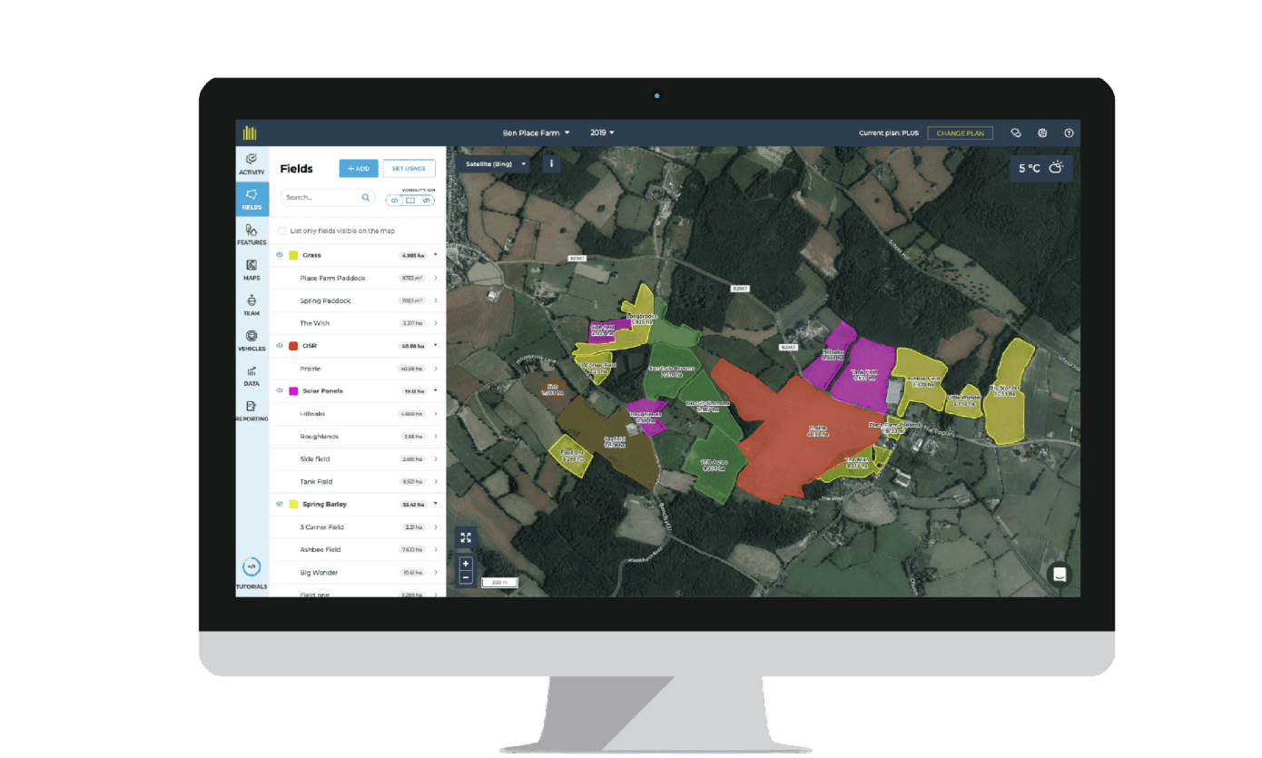
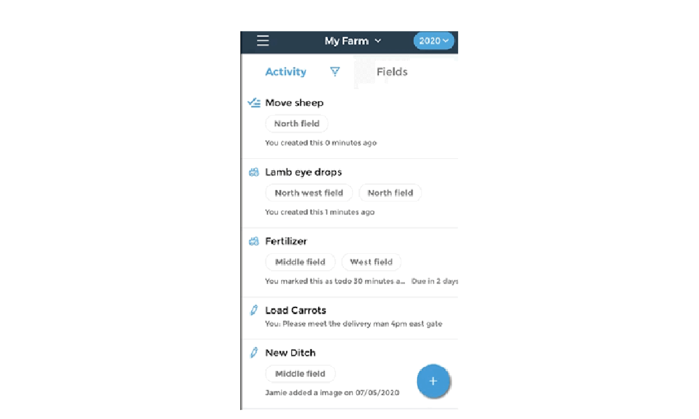
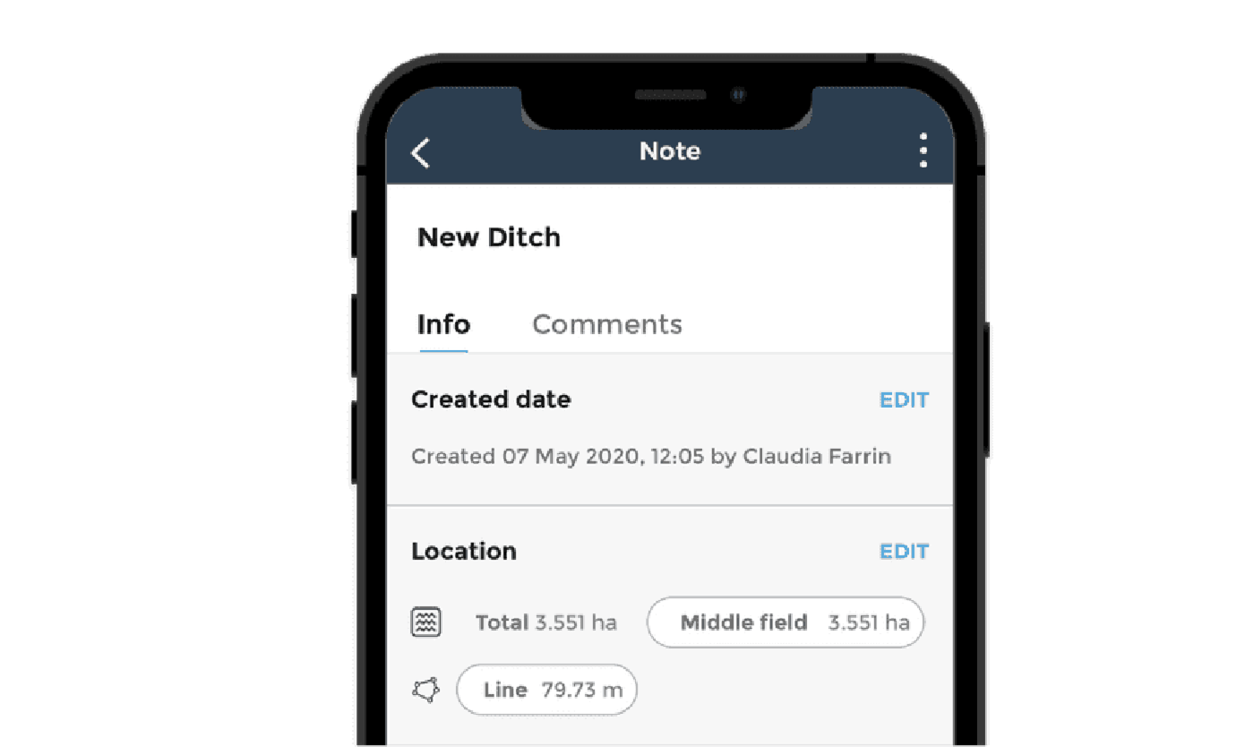
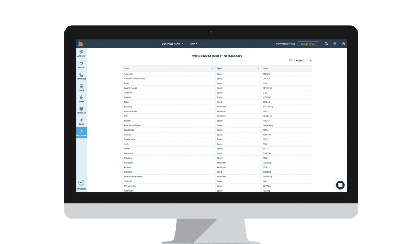
fieldmargin brings mapping, issue tracking, field work, inputs and reporting into one place. Up-to-the-minute farm information is at your fingertips, whether in the field, in the cab, at your desk or on the sofa. You can share everything with your team, including your agronomist and contractors, so everyone is in the loop instantly. 

While at times during this crisis we feel more isolated, part of the power of technology is how it allows us to stay connected and share ideas with a global community.

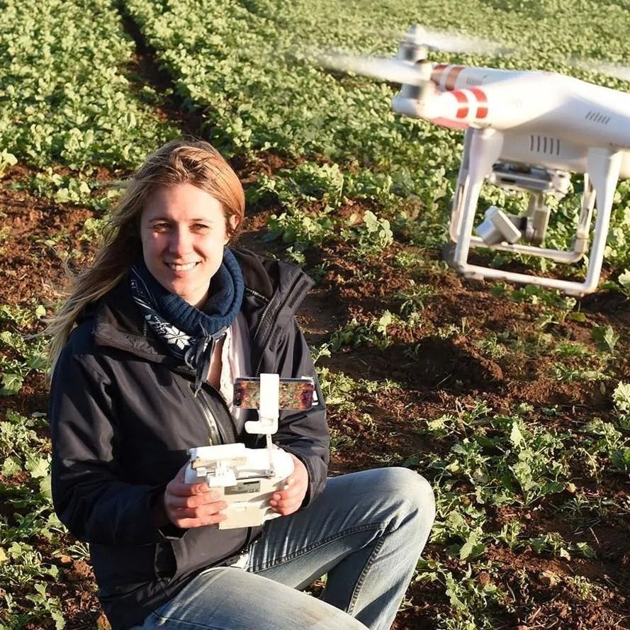
Thousands of farmers around the world use fieldmargin to manage their business, from Australia to Zimbabwe. We are honored to share stories of how innovative farmers around the world are using fieldmargin to solve their farming challenges.

GET STARTED FOR FREE


Meet Our Team

What is your main farming challenge?

Speak to us about how you fieldmargin can help on your farm. 

CONTACT US

How can I use fieldmargin?

As a farm map

As a farm map

Get started and set up your farm in minutes. Import field boundaries from the RPA, allocate crops in a few clicks, invite your team and you are ready to start planning and tracking work.


Planning and tracking field work

Planning and tracking field work

With Field Jobs, planning, input calculation and scheduling is all in one place. Keep up-to-date and accurate records in seconds from a phone or PC.

Embed Video


Scouting

Scouting


Record issues such pests, disease or farm maintenance using located notes with photos. This means you can resolve problems faster. 


Farm records and reporting

Farm records and reporting


A history of all your work and records of input use by field and across farm. Records are updated when you complete your work. No need for a separate system or hours in the farm office. Paperwork is obliterated.


Using satellite NDVI imagery for remote crop monitoring

Using satellite NDVI imagery for remote crop monitoring

How you can use satellite imagery with NDVI analysis to identify problem areas early and go straight to them when scouting.


Recording farm data

Monitoring sites allow you to record measurements taken at a particular site over time. Perfect for rain gauges, pest or plant counts and soil testing.


Planning Rotations

Get a visual overview of your cropping. With Farm Years it is easy to switch between years to see what you had in your fields over time to aid rotation planning. Past field usages are visible as you make plans for the coming season.


Partners & Sponsors